Businesses
| Organization | More Info |
|---|---|
| Stusick-Plant Mary-Alice |
Categories:
Instrumental Music Instruction
|
Business resident history
| Organization | More Info |
|---|---|
| STUSICK-PLANT SQUARE APARTMENTS, INC |
Business type:
Domestic Profit Corporation
Inactive:
19980831
|
Property price
Sep 2016
Sold
Incident history
Fire Incident History
19 Dec 2019
Building fires
Property Use —
1 or 2 family dwelling
Actions Taken —
Extinguish
Area of Origin —
Exterior balcony, unenclosed porch
Property Loss :
$106,500
Contents Loss :
$20,000
Property Value :
$106,500
Contents Value :
$20,000
Incidents registered in Federal Emergency Management Agency
07 Nov 2015
Grass fire
Property Use —
Service station, gas station
Actions Taken —
Extinguish
Property Value :
$842,500
2033 Wilbraham Rd incidents registered in Federal Emergency Management Agency
11 Mar 2004
Outside rubbish fire, other
Property Use —
1 or 2 family dwelling
Actions Taken —
Information, investigation & enforcement, other
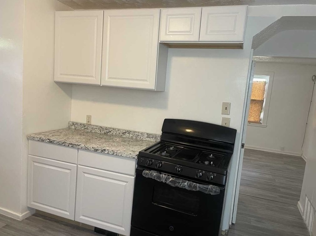
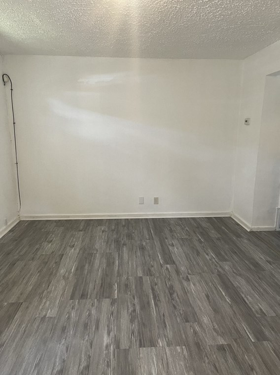
Houses for sale near 2033 WILBRAHAM RD, Springfield, MA 01129
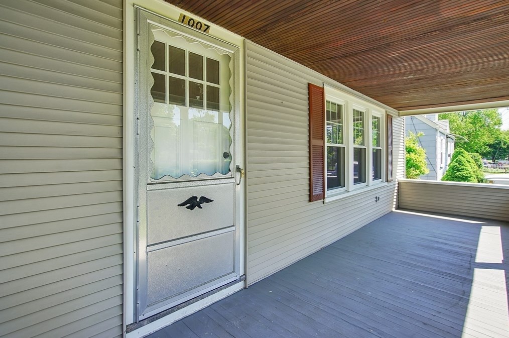
Single Family
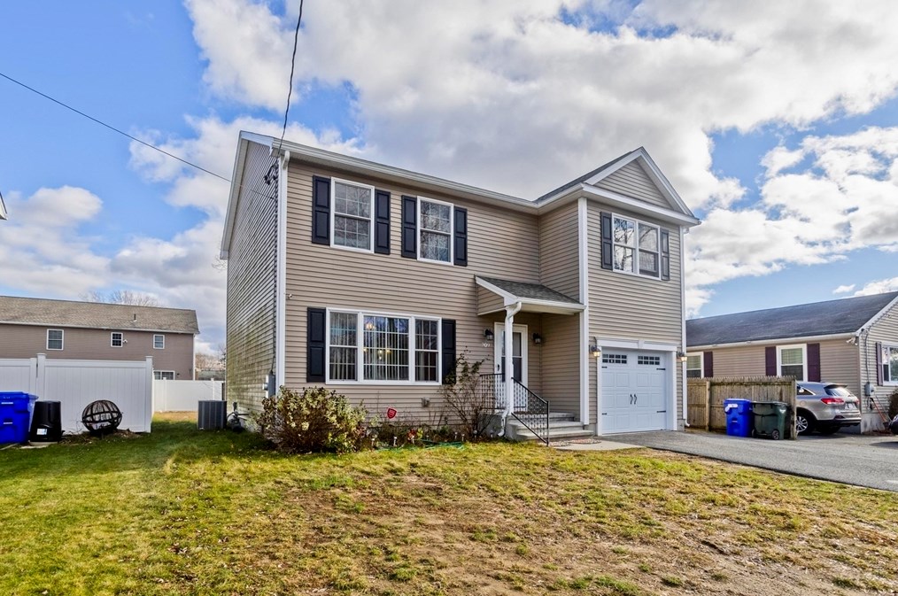


More property photos
$445,000
For Sale
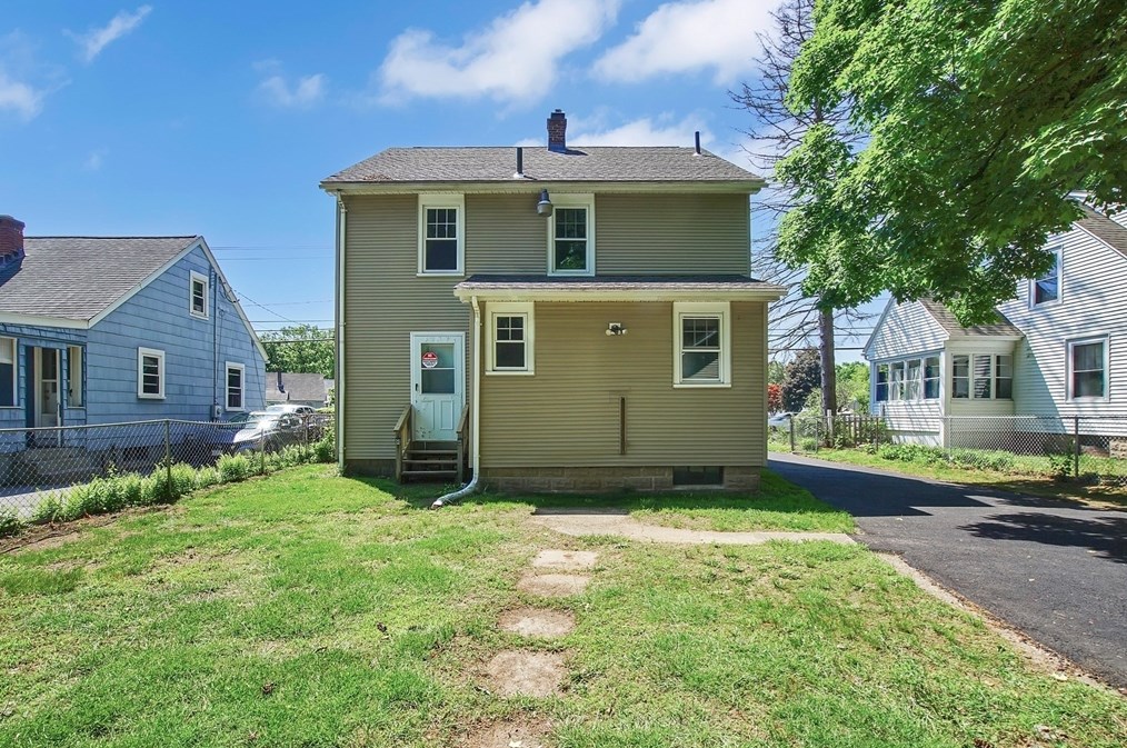
Single Family
- 4 beds
- 2 baths
- Floor size: 1,796 sqft
Single Family Residential


More property photos
$289,900
For Sale
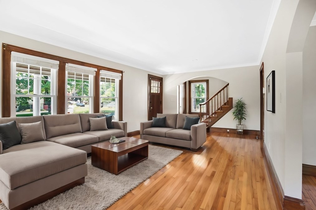
Single Family Residential
- 3 beds
- 1 bath
- Floor size: 1,100 sqft
Single Family Residential


More property photos
$289,900
For Sale
Single Family Residential
- 2 beds
- 2 baths
- Floor size: 1,176 sqft
Single Family


More property photos
$260,000
For Sale
Single Family
- 3 beds
- 1 bath
- Floor size: 1,367 sqft
Single Family
More property photos
$320,000
For Sale
Single Family
- 3 beds
- 2 baths
- Floor size: 1,692 sqft
Multi-Family
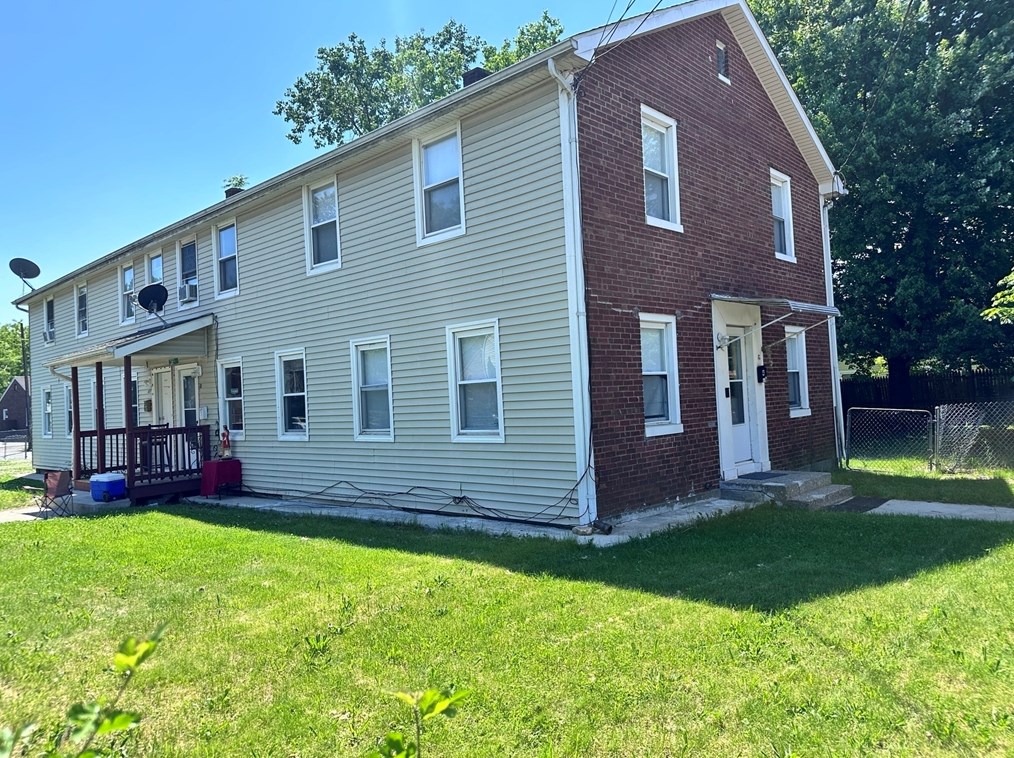

More property photos
$499,900
For Sale
Multi-Family
- 10 beds
- 4 baths
- Floor size: 10,018 sqft
Newest Listings on Wilbraham Road
Newest Homes for Sale in Wilbraham Road (6)
Foreclosure listings in Wilbraham Road (11)
Additional Services
Relocation
Advertisement
Home Warranty
Avoid Unexpected Home Repair Bills! Get $50 Off + Your First Month is Free! Get Your Free Quote Now!
Advertisement
Schools nearby
| Name | Type | Grade | Distance |
|---|---|---|---|
| Elementary school | |||
|
Glickman Elementary School
120 Ashland Ave, Springfield, MA 01119 |
Public | K-5 & ungraded | 1.19 |
Browse homes in Springfield, MA
| Street Address |
|---|
FAQ
- When was the house located at 2033 Wilbraham Rd, Springfield, MA completed?
- The house situated at 2033 Wilbraham Rd, Springfield, MA was completed in 1911.
- What is the size of the house located at 2033 Wilbraham Rd, Springfield, MA?
- The house situated at 2033 Wilbraham Rd, Springfield, MA has a floor area of 4,306 square feet.
- How many bedrooms are in the house located at 2033 Wilbraham Rd, Springfield, MA?
- The house situated at 2033 Wilbraham Rd, Springfield, MA features a total of 2 bedrooms.
- What is the bathroom count in the house located at 2033 Wilbraham Rd, Springfield, MA?
- The house situated at 2033 Wilbraham Rd, Springfield, MA includes a total of 3 bathrooms.
- What is the architectural style or type of the house located at 2033 Wilbraham Rd, Springfield, MA?
- The property located at 2033 Wilbraham Rd, Springfield, MA is classified as a Single Family residential dwelling.
- Is there a record of past sales for the home located at 2033 Wilbraham Rd, Springfield, MA?
- The most recent transaction involving a house at 2033 Wilbraham Rd, Springfield, MA occurred in 2006 year for a price of $239,900. Additional sales information for this property can be found at the provided link.
- Have there been any fire-related events in close proximity to the house located at 2033 Wilbraham Rd, Springfield, MA?
- The most recent fire incident involving the house at 2033 Wilbraham Rd, Springfield, MA occurred in 2019. Additional fire incidents related to this property can be accessed through the provided link.
- Have there been any reported FEMA incidents at 2033 Wilbraham Rd, Springfield, MA?
- The most recent recorded FEMA incident at 2033 Wilbraham Rd, Springfield, MA took place in 2015. Additional FEMA incidents on Wilbraham Rd can be found through the provided link.