Incident history
Incidents registered in Federal Emergency Management Agency
04 Jan 2008
Grass fire
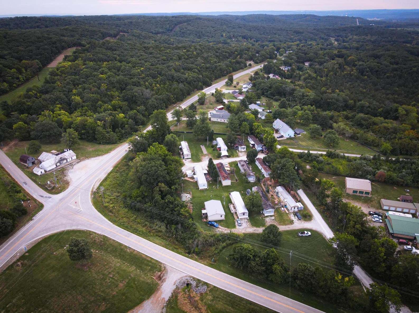
Houses for sale near 320 HIGHWAY 61, Bloomsdale, MO 63627
Single Family


More property photos
$475,000
For Sale
Single Family
- 3 beds
- 4 baths
- Floor size: 2,076 sqft
Single Family


More property photos
$350,000
For Sale
Single Family
- 3 beds
- 2 baths
- Floor size: 1,250 sqft
Single Family


More property photos
$269,900
For Sale
Single Family
- 3 beds
- 2 baths
- Floor size: 1,400 sqft
Single Family


More property photos
$350,000
For Sale
Single Family
- Floor size: 1,000 sqft
$166,900
For Sale
- 3 beds
- 2 baths

$339,900
For Sale
- 4 beds
- 4 baths
- Floor size: 1,900
Newest Listings on Highway 61
Additional Services
Relocation
Advertisement
Home Warranty
Avoid Unexpected Home Repair Bills! Get $50 Off + Your First Month is Free! Get Your Free Quote Now!
Advertisement
Schools nearby
| Name | Type | Grade | Distance |
|---|---|---|---|
| Elementary school | |||
|
Bloomsdale Elementary School
6279 Us Hwy 61, Bloomsdale, MO 63627 |
Public | PK-5 | 1.65 |
Browse homes in Bloomsdale, MO
| Street Address |
|---|
FAQ
- Have there been any reported FEMA incidents at 320 Hwy 61, Bloomsdale, MO?
- The most recent recorded FEMA incident at 320 Hwy 61, Bloomsdale, MO took place in 2008. Additional FEMA incidents on Hwy 61 can be found through the provided link.